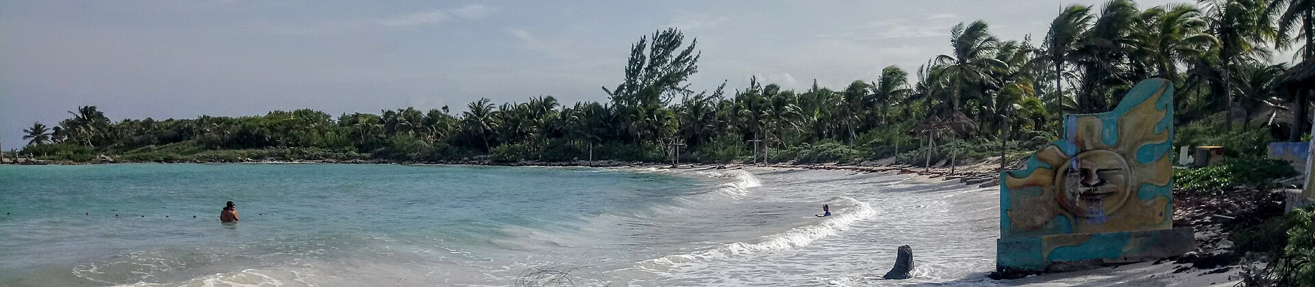
 Riviera Maya
Photo: Wasquewhat
Riviera Maya
Photo: Wasquewhat Easy escape
Xpu-Há
From Playa del Carmen
The reward: Clear water and a relaxed beach day close to a major base.
The catch: The entrance, transport choice, and beach section matter.
Mexico, with the practical details included
Beautiful places in Mexico—with the access, timing, transport, and practical details included.
Step 1 · Use the base you already have
Choose your hotel base and we will show only the trips that currently make geographic sense from there. No second form. No fake nationwide answer.
Only bases with a published guide appear here. We would rather show five useful doors than twelve decorative ones.
Or choose by effort
↳ One choice produces results immediately
The idea
Some of Mexico’s most rewarding beaches, islands, reserves, villages, and coastal routes require more than choosing a pin on a map. The real trip may depend on a boat schedule, an early start, a rougher road, limited parking, an entrance system, steep stairs, or knowing where to stay nearby.
We explain the effort before you commit the day—so you can decide whether the place fits your route, timing, group, and tolerance for inconvenience.
Your current matches
Riviera Maya
Photo: Wasquewhat Easy escape
From Playa del Carmen
The reward: Clear water and a relaxed beach day close to a major base.
The catch: The entrance, transport choice, and beach section matter.
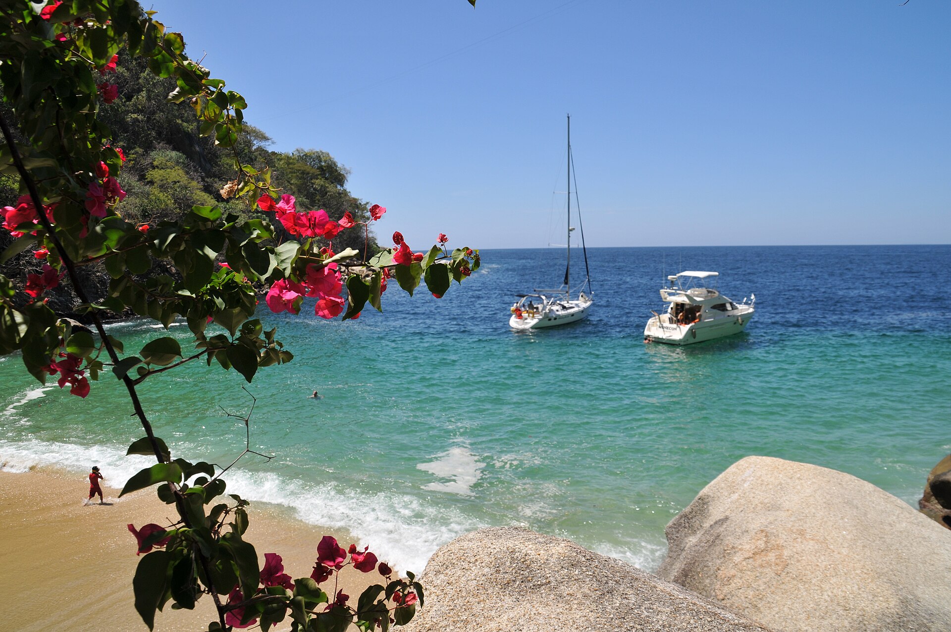 Jalisco
Photo: Andy Blackledge
Jalisco
Photo: Andy Blackledge Boat + walk
From Puerto Vallarta
The reward: A small beach beyond the city’s busiest shoreline.
The catch: Your day depends on boat timing or a hot, uneven walk.
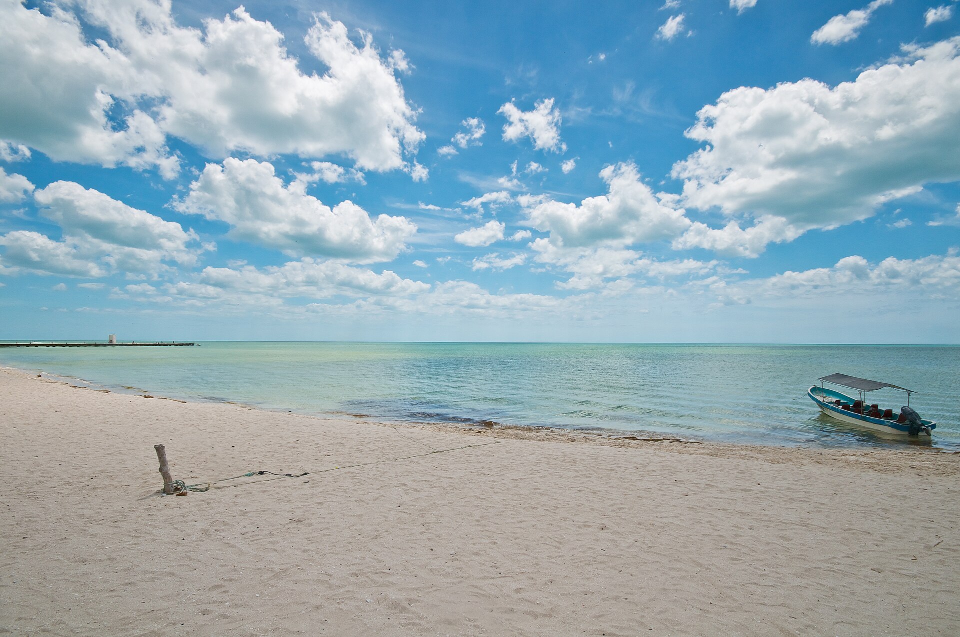 Yucatán
Photo: Ros K Photographie
Yucatán
Photo: Ros K Photographie Timing
From Mérida
The reward: A Gulf Coast nature day with a seasonal wildlife payoff.
The catch: The long drive and timing determine what the day becomes.
 Southern Yucatán
Photo: Dwalann
Southern Yucatán
Photo: Dwalann Culture + food
From Mérida
The reward: A small Maya town where food, Melipona culture, local traditions, and history can fill a deliberate day.
The catch: The best local experiences reward advance reservation; spontaneous arrival can leave too little to justify the drive.
 Cenote Ring
Photo: Sharon Hahn Darlin
Cenote Ring
Photo: Sharon Hahn Darlin Cenote choice + transport
From Mérida
The reward: A dense cenote zone where one day can deliver several very different swimming environments instead of one isolated stop.
The catch: Choice is the friction: operators, hours, access, facilities, and swimming rules vary, so random cenote hopping can waste the advantage.
 Yucatán North Coast
Photo: Adam Baker
Yucatán North Coast
Photo: Adam Baker Road + boat + timing
From Valladolid
The reward: A protected coastal wetland, wildlife boat experience, flamingo habitat, and the unusual salt landscape of Las Coloradas in one full day.
The catch: The road commitment, boat timing, wildlife uncertainty, and pink-water expectations all matter more than the postcard.
 Central Valleys
Photo: ProtoplasmaKid
Central Valleys
Photo: ProtoplasmaKid Mountain road + time tradeoff
From Oaxaca City
The reward: Petrified waterfall formations, mineral pools, mountain views, and an archaeological irrigation landscape unlike anything inside Oaxaca City.
The catch: The mountain road and itinerary design matter: a focused visit can be excellent, while an overstuffed 10–11 hour circuit can turn the day into a checklist.
 San Miguel de Allende Highlands
Photo: EneasMx
San Miguel de Allende Highlands
Photo: EneasMx Timed access + archaeology
From San Miguel de Allende
The reward: A compact archaeological site where astronomy, ceremonial architecture, and the Laja basin landscape reward careful interpretation.
The catch: Recent reopening, structured visitor transport, meaningful walking, and Guanajuato corridor awareness make current planning more important than the short map distance suggests.
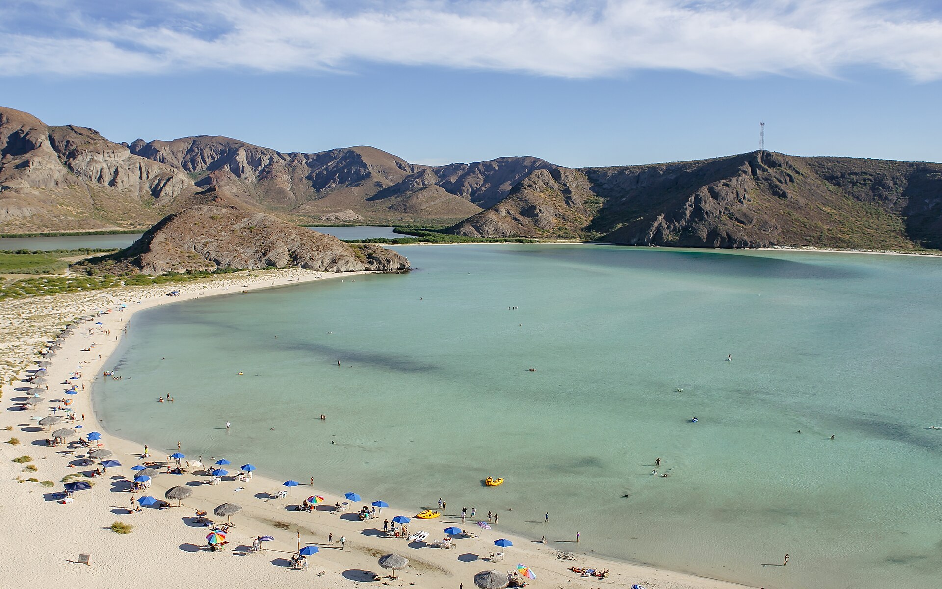 Baja California Sur
Photo: Matthew T Rader
Baja California Sur
Photo: Matthew T Rader Timing + entry
From La Paz
The reward: Shallow blue water and an unforgettable desert coastline.
The catch: Entry windows and demand can shape the entire visit.
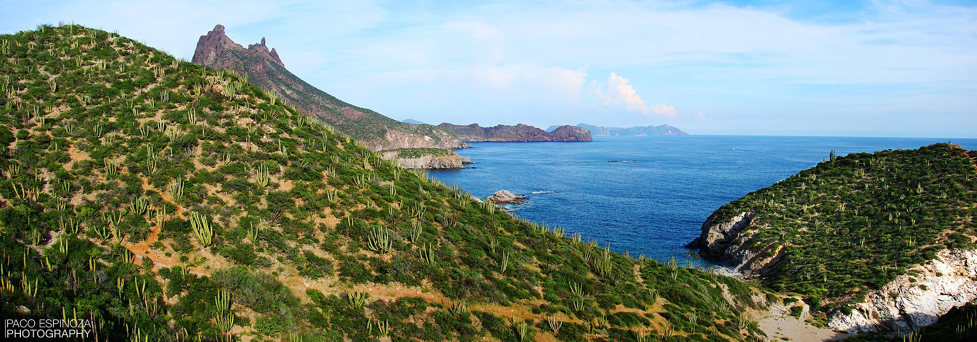 Sonora
Photo: Francisco Javier Espinoza Pérez
Sonora
Photo: Francisco Javier Espinoza Pérez Easy local beach
From San Carlos
The reward: Pale sand, dune scenery, and a Sea of Cortez beach close to a practical base.
The catch: The beach section, services, wind, and seasonal conditions matter more than the drive.
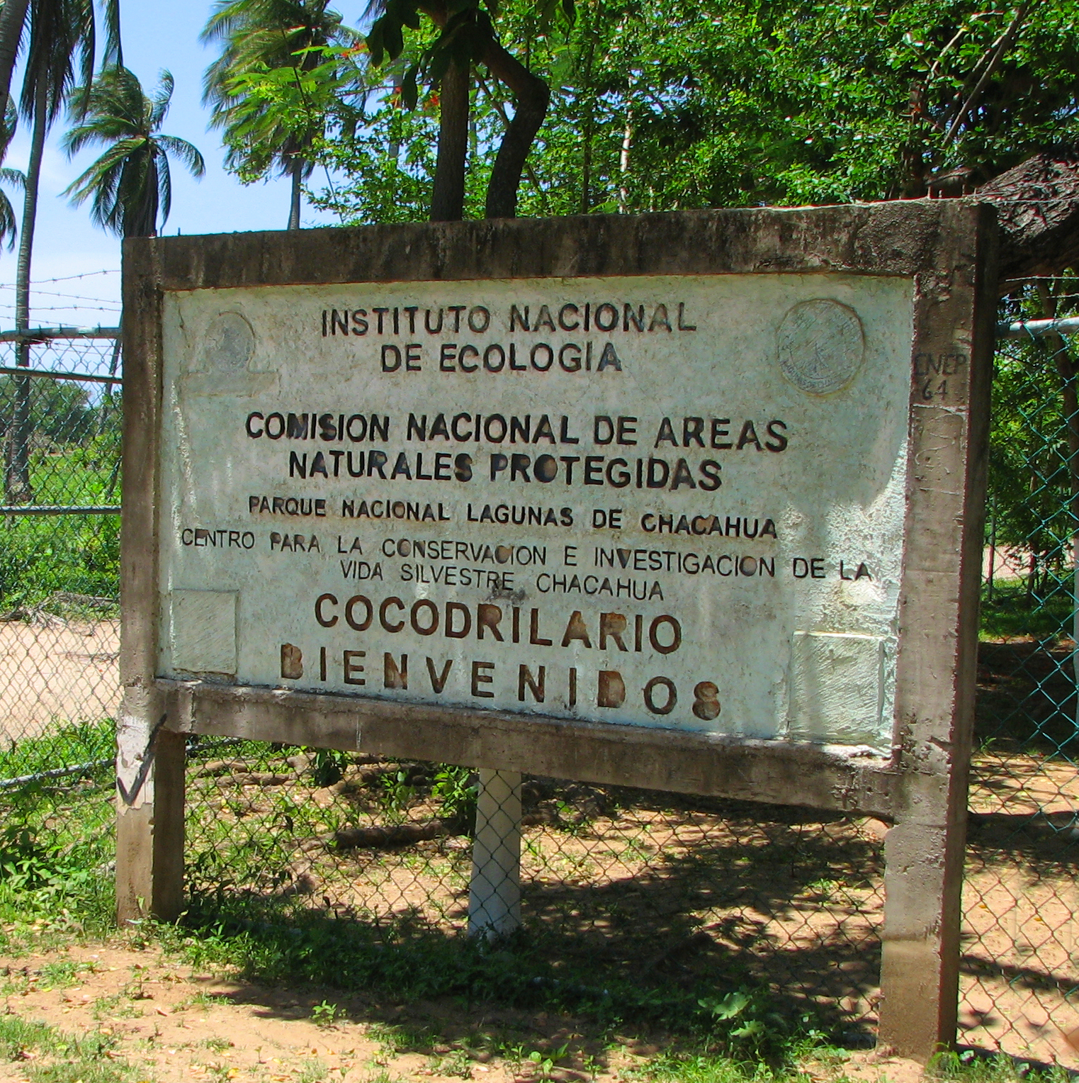 Oaxaca Coast
Photo: N. Saum
Oaxaca Coast
Photo: N. Saum Road + lagoon
From Puerto Escondido
The reward: Mangrove channels, lagoon travel, village life, and the Pacific coast in one protected landscape.
The catch: Road and boat handoffs, luggage, rustic services, and the return plan decide whether the trip works.
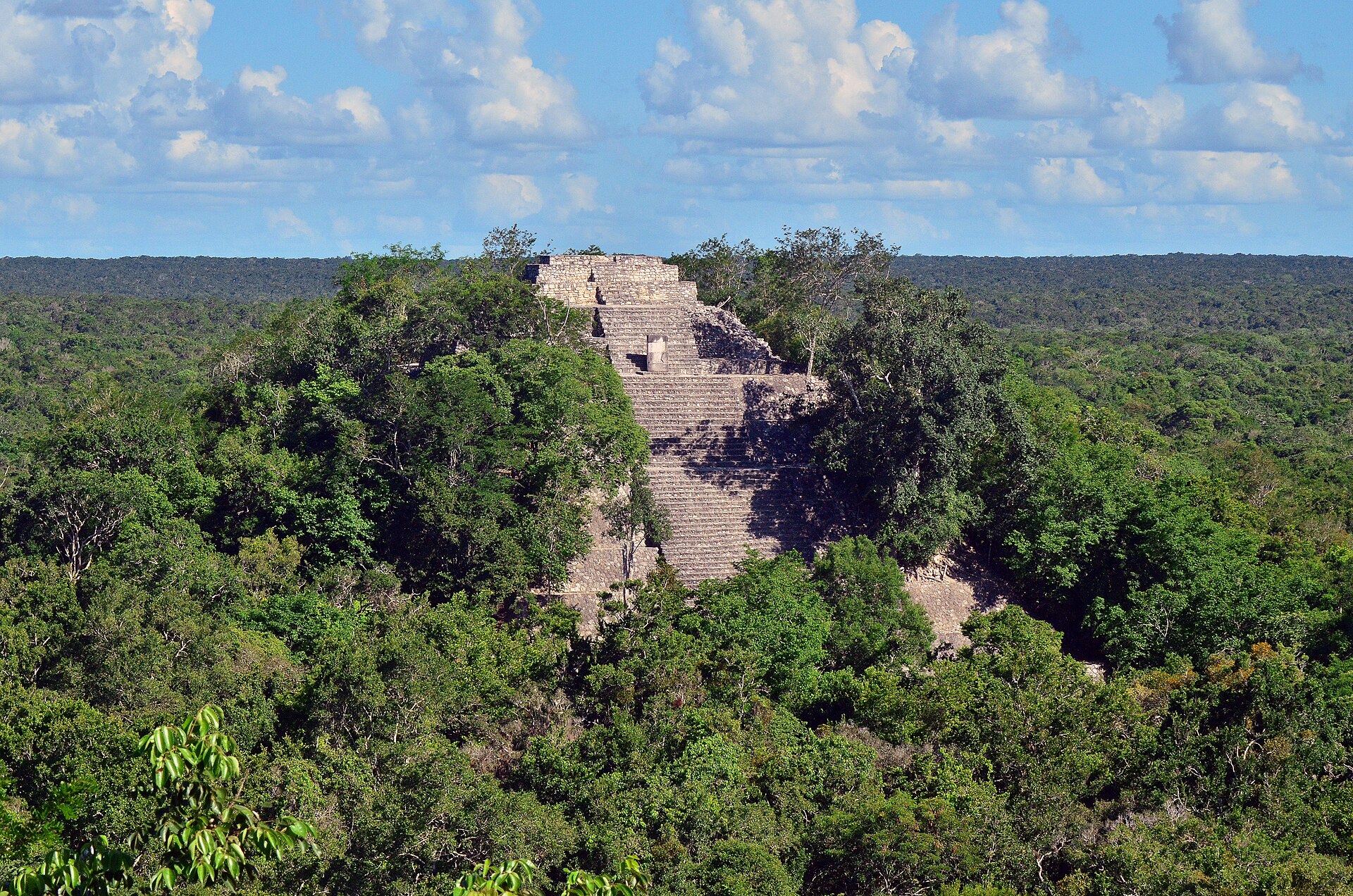 Campeche Jungle
Photo: PashiX
Campeche Jungle
Photo: PashiX Deep-jungle archaeology
From Xpujil
The reward: A major Maya city rising from one of Mexico’s largest protected tropical forests.
The catch: The reserve road, heat, walking, fuel planning, and return timing make this a full expedition.
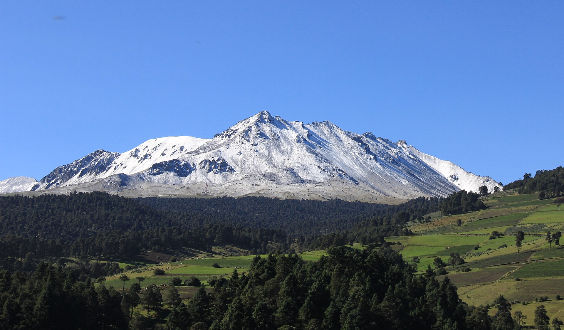 State of Mexico Highlands
Photo: México en Fotos, A.C.
State of Mexico Highlands
Photo: México en Fotos, A.C. High altitude + closure risk
From Toluca
The reward: A dramatic volcanic landscape above the Toluca Valley, with crater scenery when access is officially open.
The catch: The summit area remains reported closed, and altitude, weather, and future access rules can invalidate the day.
A rating with a reason
We look at how complicated the journey is, how demanding the destination is once you arrive, and how much uncertainty you should plan around. The labels are a decision aid—not a promise that every traveler will experience the route in the same way.
Transport changes, roads, boats, parking, and the return journey.
Walking, stairs, rocks, heat, terrain, and mobility considerations.
Entry systems, timing, weather sensitivity, and seasonal variation.
Already know your deal-breaker?
Featured
Reality Brief
San Carlos, Sonora
Beautiful? Definitely. A massive expedition? No. Completely frictionless? Also no.
Best practical base: San Carlos
Three routes, three different catches
A Riviera Maya beach that can fit into a Playa del Carmen or Akumal stay, but where entry expectations, transport choices, and the right beach section matter more than glossy photos suggest.
A small beach south of Puerto Vallarta where the decision is not only whether it looks beautiful, but whether boat timing or the walking route fits your day.
A Gulf Coast nature destination where the value depends on the drive from Mérida, wildlife timing, transport choice, and whether you want a beach day, a biosphere visit, or both.
Our field-guide promise
Most travel guides tell you why a place is beautiful. We focus on what happens between the hotel and the photograph.
Where do you start? Do you need a car? Is the boat return straightforward? Does parking fill early? Is the walk realistic for your group? What do travelers usually wish they had known first?
We include the beautiful part—but also the route, the friction, the fallback, and the honest verdict.
Follow the friction
Begin with what you already know